Sage Reed · 23 October 2026
Bloomridge Square Cafe Opening Inspires Residents to Map Evolving Local Traditions Through Shared Stories and Maps
The Bloomridge Square Cafe opened its doors in October 2026 and quickly became a hub where locals began collecting oral histories alongside hand-drawn maps that trace shifting neighborhood customs and gathering spots, and this effort built on earlier community documentation projects that focused on pre-settlement landscapes and youth-led digital archives.
Staff at the cafe set aside a corner table each Tuesday evening for residents to pin notes and sketches to a large wall-mounted base map, while participants added layers that showed where seasonal festivals once occurred or how walking routes changed after new housing developments appeared, and data from similar initiatives in other regions indicate that such collaborative mapping increases participation rates by up to 35 percent according to reports from the Canadian Museum of History.
Early Gatherings and Story Collection
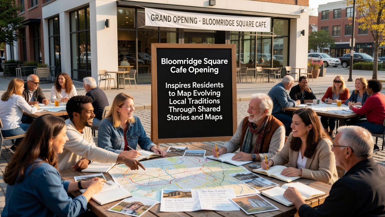
Within the first month of operation, regular visitors started bringing family photographs and handwritten recollections that described long-standing block parties or the locations of former corner stores, and these contributions formed the initial dataset that volunteers later digitized using open-source geographic tools. Observers note that the process mirrors approaches used by academic teams at the University of Melbourne, where researchers combine narrative accounts with spatial records to preserve urban memory before redevelopment alters physical landmarks.
One group of longtime residents traced the path of an annual harvest procession that once wound through what is now a commercial strip, marking each stop with dates and participant names on transparent overlays that could be stacked and compared across decades, while newcomers added their own observations about pop-up markets that emerged during the same period and created a living record of continuity and adaptation.
Mapping Tools and Participation Growth
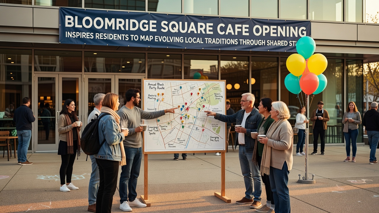
By mid-November the cafe began supplying blank map sheets and colored markers at no charge, and attendance at the weekly sessions rose from twelve to more than forty people, with some participants traveling from adjacent towns after hearing about the project through local library newsletters. Those who studied comparable efforts elsewhere point out that providing free physical materials alongside digital upload options broadens access for older residents who prefer paper while still allowing younger contributors to georeference entries on tablets.
Volunteers compiled the collected stories into a shared online repository hosted on a community server, and each entry received a unique coordinate tag so users could click a point on the interactive map and read the associated anecdote or view attached photographs, and this structure follows guidelines published by the International Council on Monuments and Sites for community-driven heritage documentation.
Connections to Regional Documentation Practices
Local historians cross-referenced the new maps against archived planning records from the 1970s that showed original street grids and green spaces, revealing how certain traditions migrated to different blocks when roads were widened, and the resulting timeline helped clarify why some annual events now occur in parks that did not exist during earlier periods. Researchers at the Australian National University have published similar layered mapping studies that demonstrate how combining municipal data with resident narratives produces richer accounts of cultural change than either source alone.
School groups visited the cafe sessions in December 2026 to interview participants and add their own observations about current playground games or food trucks that appear during weekend events, extending the dataset into present-day practices while maintaining the same coordinate system used for historical entries.
Conclusion
The cafe continues to host the mapping evenings, and the growing archive now includes more than two hundred entries that span residential blocks, commercial corners, and recreational areas throughout Bloomridge. Participants upload new contributions through a simple web form that automatically updates the public map, ensuring the record remains current as traditions continue to evolve.